









AR content is nothing new to Google Maps, but the company admits that it's been tough for creators and developers to get their AR content in front of the right audience. That's why Google is introducing new AR features for Maps that let people see cities like never before, and also updating its Geospatial Creator to make it easier to produce AR content.
Also: 9 biggest announcements at Google I/O 2024: Gemini, Search, Project Astra, and more
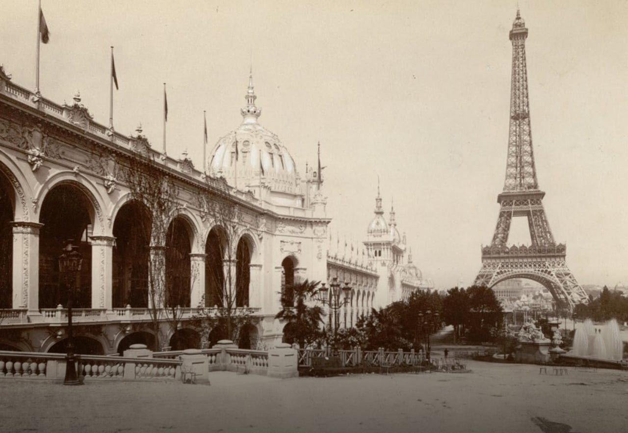
To showcase how AR content in Maps can work, Google partners spent time in Paris and Singapore creating immersive content that displays over top of the real world. In Paris, users can see the scene of the 1900 World's Fair along the Seine River and see what's changed and what stayed the same.
In Singapore, Google partnered with the country's tourism board to showcase key landmarks like Chinatown and Gardens by the Bay. "Whether you want to watch the ceremonial dragon dance or view the local dishes you can try at the Maxwell Food Centre," Google says, "there is a wide range of AR experiences that anyone visiting Singapore or around the world can discover and enjoy through Google Maps."
Geospatial content is available from your phone using either Street View or Lens in Maps, Google says, meaning you can take advantage of it if you're at the location in person or if you're exploring remotely.
When you use the feature, you'll see digital content overlaid on the physical world. Remotely on Street View, if you search for a specific location or point of interest, you'll see an "AR Experience" button for sites that have content. If you're in person, you'll tap the Lens button and hold up your phone to see what's available.
Google is also rolling out updates to its Geospatial Creator tool that will hopefully make it easier for creators to produce more AR geospatial content.
Also: Google Maps is testing a feature that shows you where to enter a building
First up, Adobe Aero's Geospatial Creator, an environment that helps users preview 3D assets against a photo-realistic 3D representation of the world, is now open to everyone, with no waiting list required.
Second, Google has updated Geospatial Creator to let content developers make and adjust anchors at scale through C#, letting them easily scale immersive creations to other locations. Creators can even place the same anchors across multiple locations at one time.
Lastly, Google is expanding ARCore Geospatial API coverage to include India, "home to some of the most innovative creators and engaged viewers." Google added that the program would be expanding to Android first.
 Tags chauds:
technologie